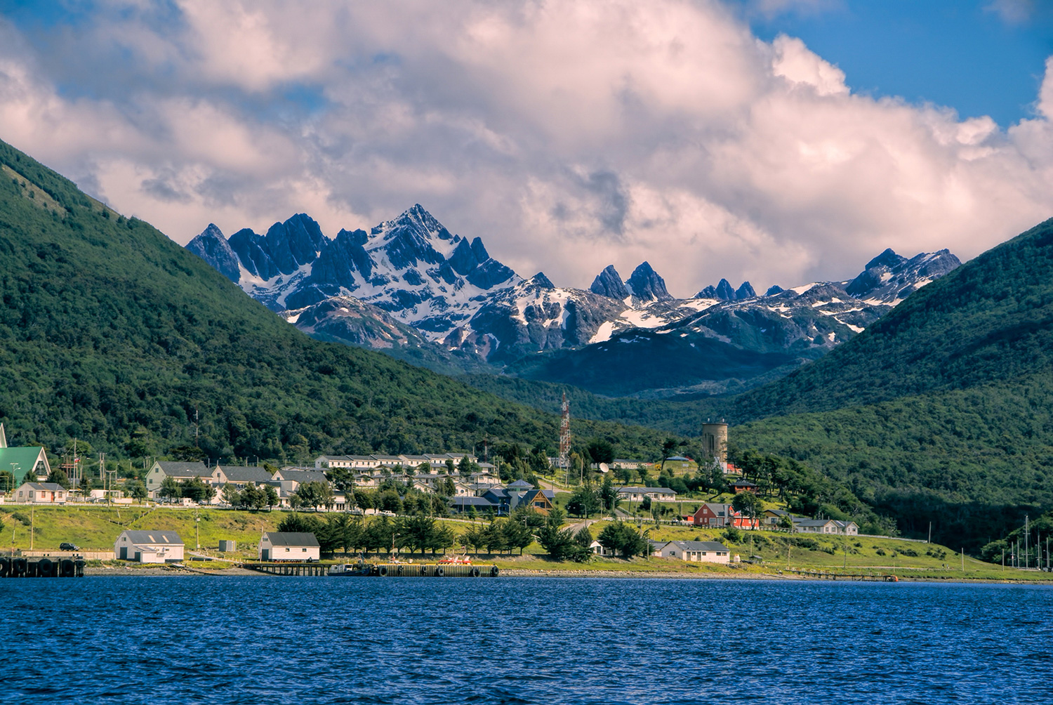
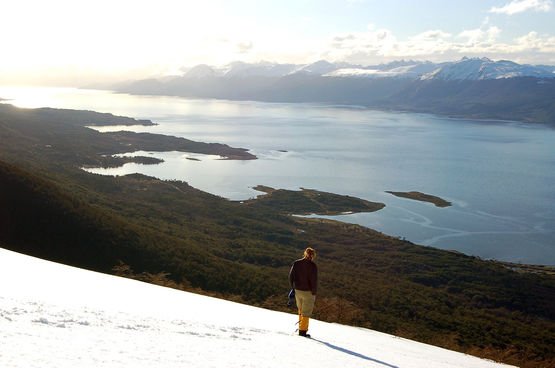
Your journey begins with a scenic flight from Punta Arenas to Puerto Williams on Navarino Island. On arrival, transfer to Errante Lodge and settle in near the Beagle Channel. Later, meet your local guide for a detailed route briefing and equipment check, followed by a welcome dinner. If your arrival schedule allows, ask your guide about visiting Omora Ethnobotanical Park.
Overnight: Errante Lodge
Meals: Dinner
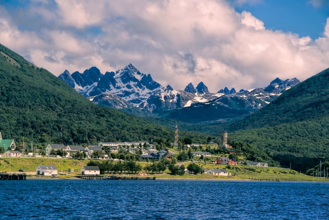
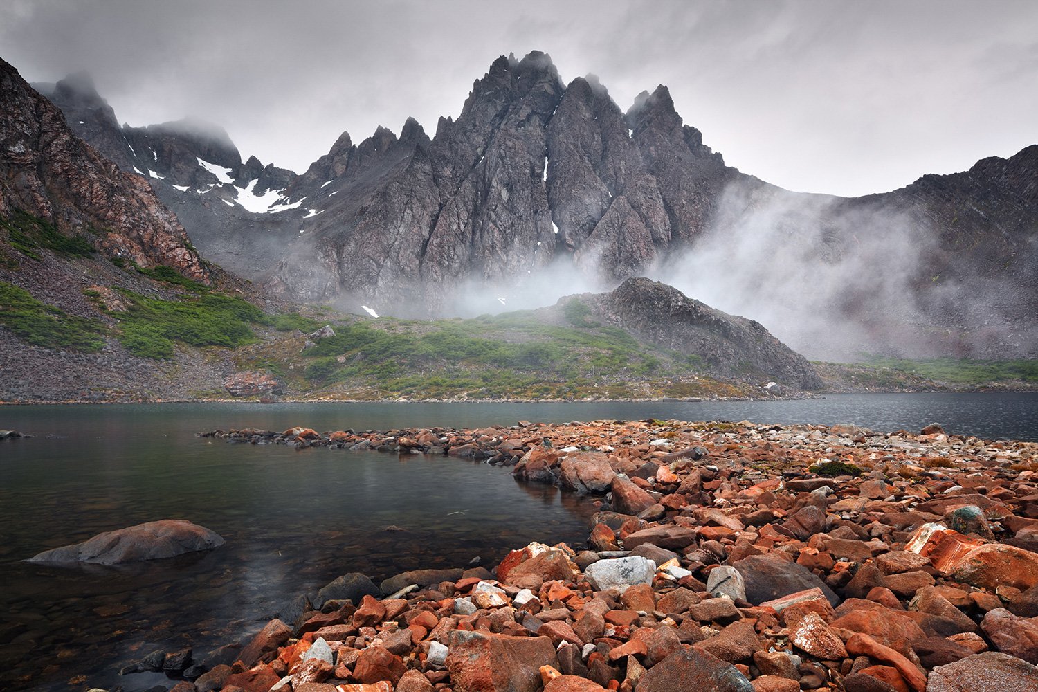
After breakfast, drive to the Róbalo River water intake, where the circuit begins. Hike through temperate forest to Cerro Bandera, with sweeping views over Puerto Williams, the Beagle Channel and Tierra del Fuego. Continue along the upper Róbalo Valley before descending to Laguna del Salto, where you will set up camp and share dinner surrounded by the wild landscapes of Navarino Island.
Overnight: Camping at Laguna del Salto
Meals: Breakfast, box lunch and dinner

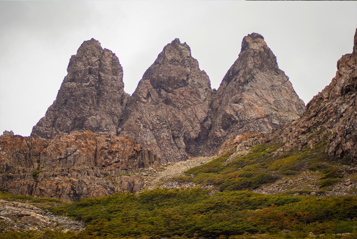
Leave Laguna del Salto and climb beside a stream toward Paso Primero. The trail continues through Paso Australia and Paso de los Dientes, crossing rocky ground and possible snowfields in the heart of the range. Weather permitting, views stretch south toward the Wollaston Islands and Cape Horn. Descend to Laguna Escondida for your second night of wilderness camping.
Overnight: Camping at Laguna Escondida
Meals: Breakfast, box lunch and dinner
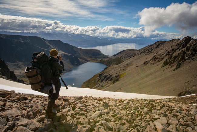
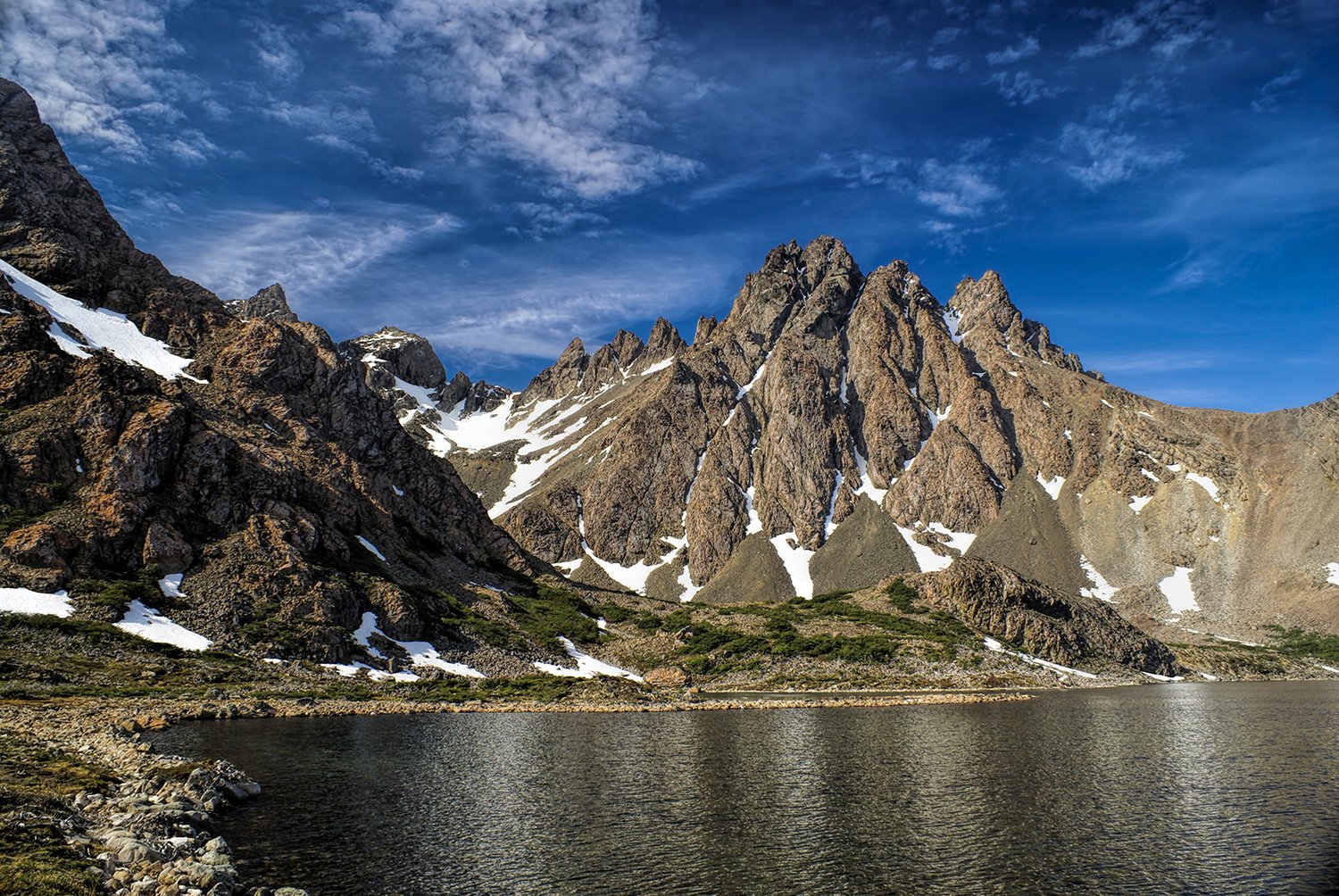
Skirt Laguna Escondida and follow the valley toward Paso Ventarrón, known for its powerful winds and expansive views. Continue through low, wind-shaped forest and climb Paso Guerrico before descending past Laguna Hermosa. The final section winds north through rugged woodland to Laguna Martillo, where you will camp for the night.
Overnight: Camping at Laguna Martillo
Meals: Breakfast, box lunch and dinner
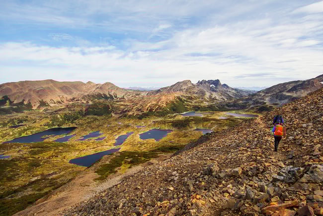
Begin the circuit's longest day beyond Laguna Rocallosa, climbing toward exposed Paso Virginia. At the high point, weather permitting, admire the Darwin Range, Ushuaia and the Beagle Channel before a steep descent around Laguna Guanaco. Continue through forest, peatland and areas shaped by beavers to the former MacLean fishery. A vehicle completes the final 6 km to Errante Lodge for a farewell dinner.
Overnight: Errante Lodge
Meals: Breakfast, box lunch and dinner
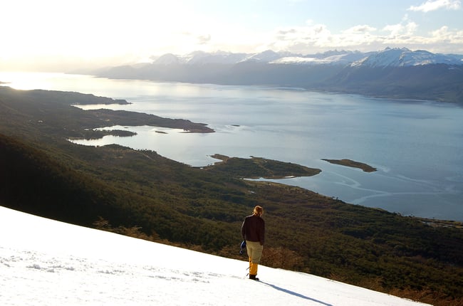
After breakfast at Errante Lodge, transfer to Puerto Williams Airport for your return flight to Punta Arenas. As you leave Navarino Island, enjoy a final aerial perspective over the remote channels and mountains that framed your journey through the southernmost trekking circuit in the world.
Meals: Breakfast
*You must carry your own backpack, daily snack, mat, and sleeping bag.
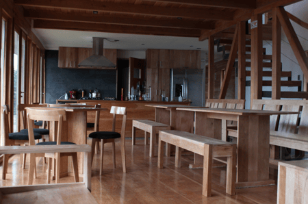
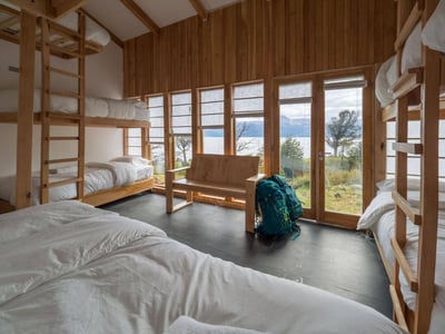
Errante Lodge is an ecological refuge in Puerto Williams, built with a warm and simple spirit. Its views over the Beagle Channel and comfortable shared spaces make it a welcoming base to prepare for the expedition and recover after completing the circuit.
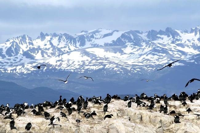
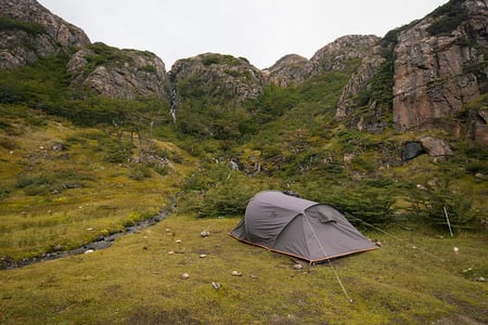
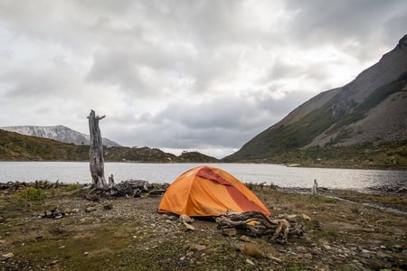
You will camp beside Laguna del Salto, Laguna Escondida and Laguna Martillo. These are remote wilderness sites without hot showers, toilets or permanent facilities. Campsites may be adjusted by the guide according to weather, terrain and safety conditions.
Regular and private departures are available, subject to availability, from November to March.
Please confirm availability and rates with your travel experience designer.
The trip starts and ends at Punta Arenas Airport. It may also start or end in Ushuaia, Argentina, when requested and confirmed in advance.
This demanding expedition is suitable for skilled trekkers in excellent physical condition. The route crosses uneven and exposed terrain, rocky passes, forests, peat bogs, wet ground and possible snowfields. The final trekking day lasts approximately 10 hours.
This trip is not available for children under 12 years old.
No minimum number of participants is required. The maximum group size is 8 people.
Navarino Island has a temperate subpolar oceanic climate. Rain, strong wind, cold and snowfall can occur even in summer, and conditions may change quickly during the trek.
You should bring trekking boots, waterproof jacket and pants, warm layers, gloves, hat, sunglasses, sunscreen, headlamp, personal toiletries, water bottle, and a backpack suitable for carrying your personal gear, mat, sleeping bag, and daily snack. A detailed packing list will be sent before departure.
The guide may change the order, route, campsite or any part of the itinerary for safety, weather, trail conditions or other operational considerations.
Searching Availability...







Updated October 4th, 2022
Dear Traveler,
We are very happy to announce that there are currently no travel restrictions in Chile.
Together with the above mentioned, it is mandatory to comply with the following requirements:
In case you have any questions, we will be happy to help you!
Best,
The Team at Cascada Expediciones & EcoCamp Patagonia